Information
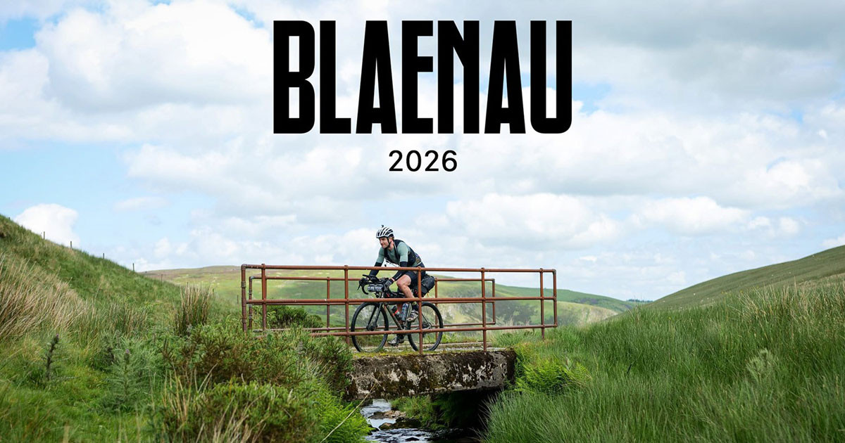
THE BLAENAU
The Blaenau is a self-supported challenge ride through some largely remote country. It’s also relaxed and friendly. Ride it how you want. Solo, in a pair, in a group. Fast or slow.
It’s a high quality event, with tracking, a finishers party, a fabulous route, and great company.
We’re keeping it small, with just 60 ‘open’ places (plus a few carried over from last time), to retain the friendly and sociable feel that we all love.
ROUTE OPTIONS
There will be four route distances to choose from in 2026, including the classic Blaenau 600, taking in all of the key hill and mountain ranges of Wales and the borders, with the challenge of the landscape equalled only by its beauty. Blaenau translates roughly as ‘remote uplands’, so you get the idea!
- New – Blaenau XL (750km+/14,500m+ of climbing) – including our first foray into the very heart of Snowdonia
- Blaenau Classic (620km/11,000m+ of climbing) – taking in the Clwydians, eastern Snowdonia, Cambrains, Brecons and Black Mountains amongst others
- Blaenau North (480km/8,500m+ of climbing) – covering the northern ranges of the Classic route, before returning to Ludlow via the Elan Valley and Trans Cambrian Way
- New – Blaenau South (340km/5,500m+ of climbing) – leaving Ludlow on the Trans Cambrian Way, before picking up the Classic route down through Llyn Brianne, the Brecons and Black Mountains
TERRAIN
All routes cover a number of Welsh uplands, with connecting lowland valleys. It’s remote in places and it’s hilly throughout, and we’ve worked hard to avoid busy roads. You’ll cross several mountain ranges and experience a wide range of surfaces, from tarmac to rough rocky stretches, with everything in between.
BIKE SUITABILITY
The route is rideable on a gravel bike, and has been the choice of around 60% of finishers in previous years – however the terrain is very rough for long stretches and you ideally need to be able to fit a capable 45mm+ tyre.
Alternatively, a Cross Country MTB is a great choice. Slower rolling on the road and smoother gravel perhaps, but certainly the more comfortable and less tiring option overall. Although there will be some hike-a-bike no matter which bike you ride, an MTB will allow you to keep pedalling over more of the terrain.
The route is not suitable for road bikes.
START/FINISH LOCATION
Both routes start and finish at Epic Cycles in the centre of Ludlow, Shropshire.
This is also where you will sign on, collect your tracker, and enjoy the post event party.
ENTRY FEE
The entry fee is £99 for all routes, and includes:
- Tracker rental and live tracking (aka dot watching)
- Route/GPX files
- Rider manual, which for 2026 will include an outline of key re-supply points
- Goody bag (musette)
- Barista coffee and pastries at the start
- Finishers party
- Event insurance (riders must also have their own personal 3rd party liability insurance)
- Event tee
RIDER TRACKING
All riders will carry a tracking device provided by the event, and their progress will be published live by Follow My Challenge.
ROUTE FILES
The final GPX route files, with any last minute changes due to local circumstances, will be sent to all riders around 10 days before the event, along with the event manual. Routes will also be published on RideWithGPS